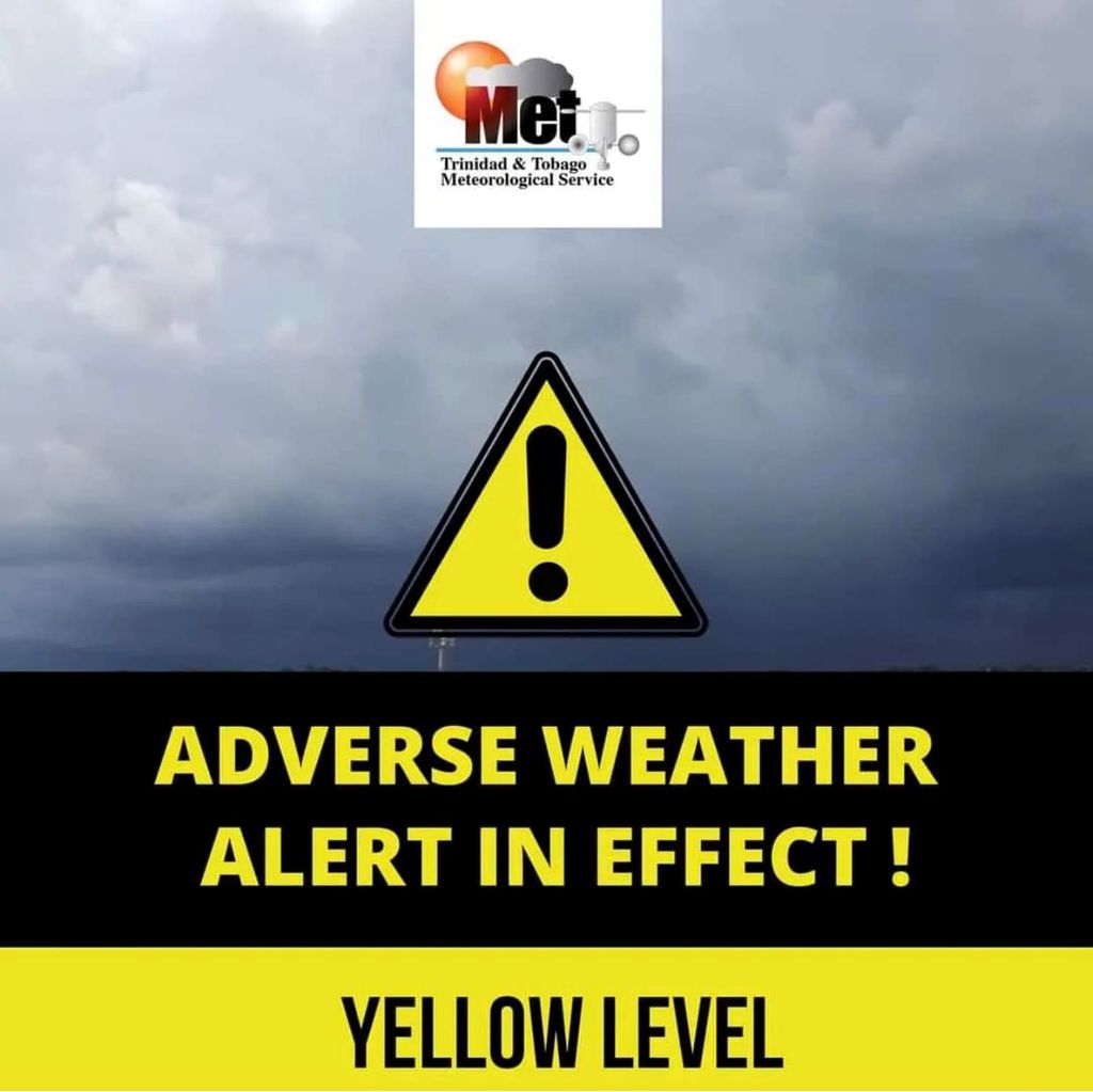

The Trinidad and Tobago Meteorological Service (TTMS) has extended its Yellow Level Adverse Weather Alert, warning that unsettled weather is now expected to continue into Sunday.
The updated alert remains in effect until 2:00 pm on July 19 and covers Trinidad and Tobago and the surrounding marine waters.
According to the TTMS, there is expected to be a temporary break in heavy showers and thunderstorm activity during the late afternoon, evening and early tonight.
The lull is being attributed to a significant concentration of Saharan dust over the region, which is helping to stabilise the atmosphere.
However, forecasters say that calmer conditions will be short-lived.
An approaching tropical wave, interacting with the Intertropical Convergence Zone (ITCZ), is forecast to bring another round of showers and thunderstorms after midnight. The wet weather is expected to continue into Sunday, with gradual improvement anticipated by late afternoon.
The TTMS warned that gusty winds, street flooding and flash flooding remain possible in areas affected by heavy showers and thunderstorms.
The extension comes after severe weather affected parts of Trinidad overnight and into Saturday, including reports of a fallen tree blocking Morne Coco Road between Petit Valley and Maraval.
Residents in flood-prone and landslide-prone communities are being urged to remain vigilant, monitor changing weather conditions and take the necessary precautions to protect life and property. Motorists should exercise caution on waterlogged roads and avoid driving through flooded areas where conditions cannot be safely assessed.
The TTMS is advising the public to continue monitoring official weather updates at www.metoffice.gov.tt as the situation develops.