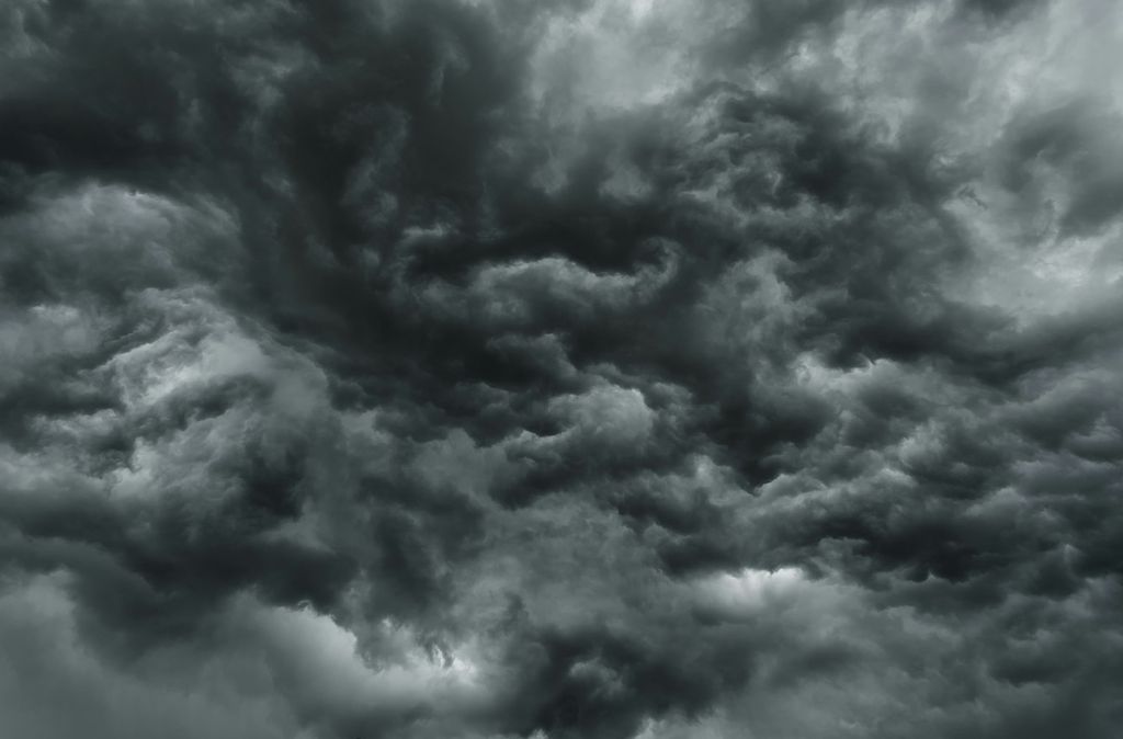

The Trinidad and Tobago Meteorological Service has issued a yellow level adverse weather alert for Trinidad and Tobago and surrounding waters, warning of a high chance of heavy showers and thunderstorms from 1.30 a.m. to 12 noon today.
In its first adverse weather alert, issued just after midnight, the Met Office said there is a 70 per cent chance of heavy showers and thunderstorm activity as low level troughs interact with the Intertropical Convergence Zone (ITCZ).
The service said Tobago, along with northern and eastern parts of Trinidad, is expected to experience the most significant impacts, although adverse weather is not expected to be confined to those areas.
The Met Office warned that the weather could cause temporary traffic disruptions, street and flash flooding, localised ponding and gusty winds near heavy downpours. It added that strong winds could displace loose outdoor items, agitate seas in the vicinity of heavy showers and thunderstorms, and topple unstable trees. Landslides and land slips are also possible in vulnerable areas.
The alert carries a moderate severity level, with the Met Office advising motorists and residents in flood and landslide-prone areas to remain alert and exercise caution.
The public is also encouraged to monitor changing weather conditions, take the necessary precautions to reduce potential impacts and follow official weather updates from the Trinidad and Tobago Meteorological Service.