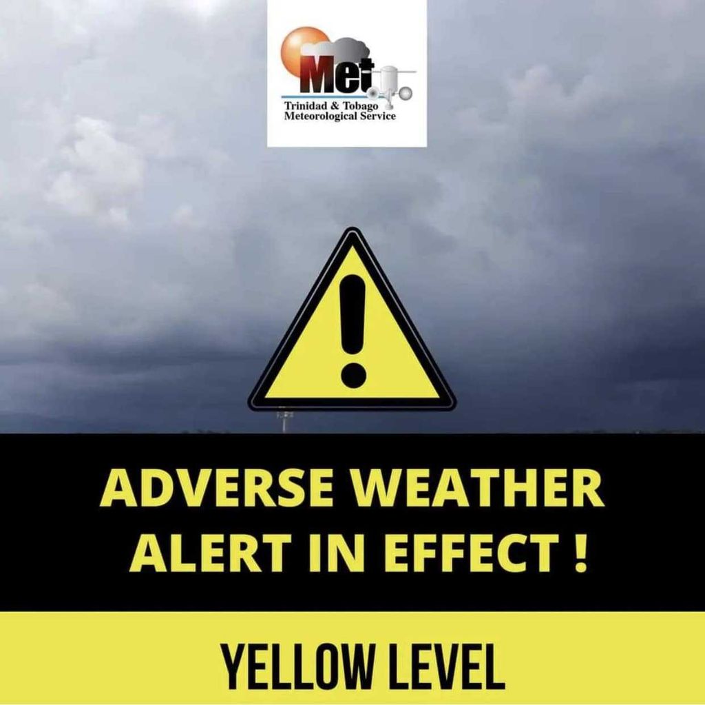

The Trinidad and Tobago Meteorological Service says intermittent rainfall, with a low chance of isolated thunderstorms, will continue to affect Trinidad and, to a lesser extent, Tobago as an Adverse Weather Alert at the yellow level remains in effect.
According to a media release from the Meteorological Service, the conditions are expected to persist throughout today and into tomorrow, with some settled periods in between. The alert, first issued earlier this week, is set to end at 12 pm tomorrow.
The Met Office said major rivers remain contained but elevated, while strong low-level winds have caused open-water seas to become occasionally rough, with waves at times exceeding 2.5 metres.
The release warned that smaller watercourses and drains may become overwhelmed during heavier rainfall, particularly near high tide around 3 pm today and again around 4.30 am tomorrow. It added that heavy or prolonged rainfall could lead to street flooding, localised ponding, and a heightened risk of landslides or landslips in vulnerable areas. Rough seas also pose a hazard to small craft and nearshore activities.
The Met Office said gusty winds above 55 km/hr may accompany heavy downpours, increasing the likelihood of fallen trees, displaced outdoor items, and further agitated seas.
“Secure loose outdoor objects. Motorists and residents in areas prone to landslides, landslips or flooding, especially those living near river courses, should remain alert and aware of their surroundings and changing weather conditions. Exercise caution in all marine activities,” the service said.